Parks Victoria is responsible for managing a diverse estate that covers more than 4 million hectares (about 18 per cent of Victoria) and includes national parks, urban parks, wilderness areas, 75 per cent of Victoria’s wetlands and 70 per cent of Victoria’s coastline. Parks Victoria and AMSI have established a collaborative relationship to demonstrate the mutual benefits of statistical collaborations in supporting land and conservation management, increase understanding of the role of statistics as part of an evidence-based management and promote and enhance mathematical and statistical sciences.
This collaboration, enabled through Parks Victoria’s Research Partners Panel, has embedded AMSI statistician Kally Yuen within Parks Victoria’s Environmental Research Partnerships and Programs Unit, actively supporting research and monitoring activities to help improve park management. Projects are diverse and range from the evaluation of data capture options for wildlife monitoring using remote cameras to assessing the effectiveness of invasive plant control programs.
The AMSI partnership plays a key role in Parks Victoria’s commitment to utilise evidence-based decision making in environmental management and in enhancing specialist skills.
The following are examples of projects that Kally is currently collaborating with Parks Victoria:
SALLOW WATTLE CONTROL MONITORING PROGRAM IN THE GRAMPIANS NATIONAL PARK
Since 2015, AMSI and Parks Victoria have joined forces to fight the spread of Sallow wattle and protect biodiversity in the Grampians National Park. Home to more than one third of Victoria’s flora species, the National Heritage listed park’s rich biodiversity is threatened by the spread of Sallow Wattle – a native plant species that does not naturally occur in the area and is behaving like a weed. AMSI and Parks Victoria have been examining the effectiveness and costs of five different treatments to control this native weed in the national park. Information gained from interim analyses has informed control strategies and assisted in gaining additional funding for control works and further monitoring (https://amsi.org.au/2018/12/11/native-species-behaving-badly-halting-the-sallow-wattle-threat-to-grampians-national-park/). Kally is currently conducting the final analysis of the data.
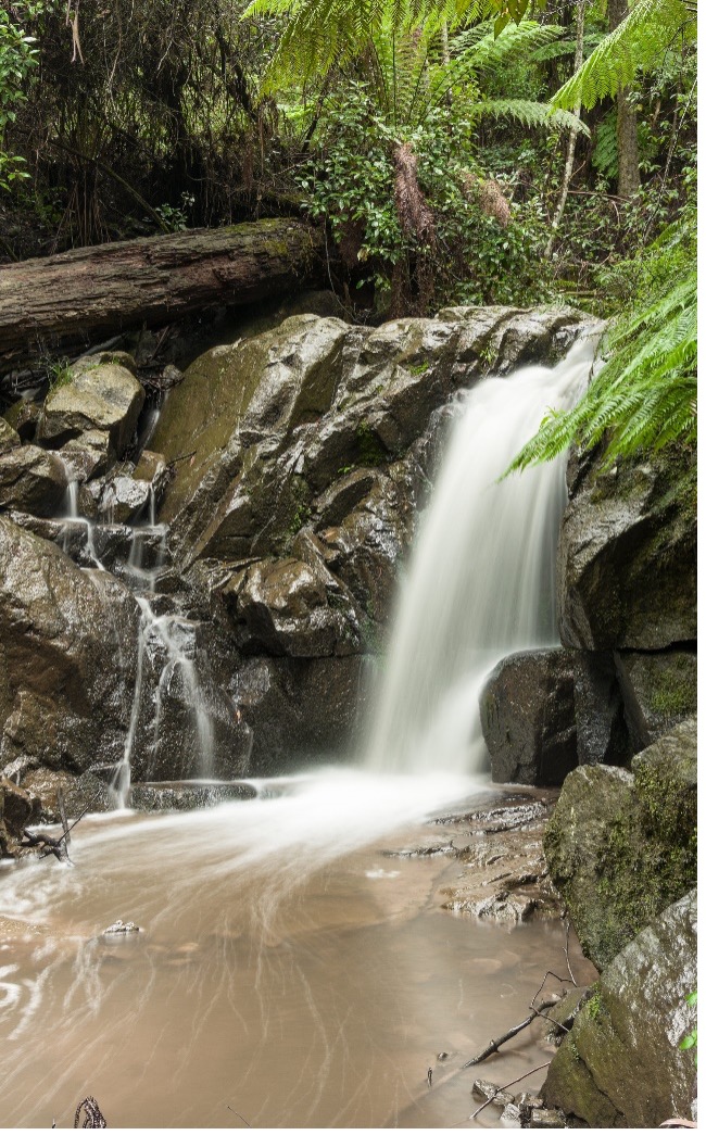
WEED SURVEY IN THE DANDENONG RANGES NATIONAL PARK
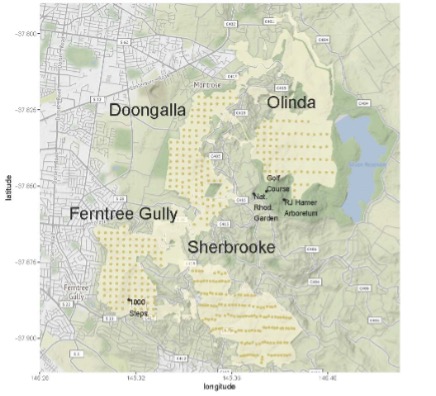
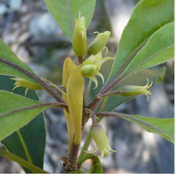
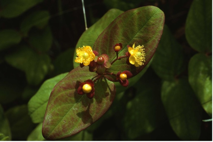
Dandenong Ranges National Park is 39km east of the Melbourne CBD. It is one of the most scenic and major attractions in the State of Victoria. The Park is part of an Aboriginal cultural landscape. Commencing in 2002, a weed monitoring program has been conducted periodically in four management units of the Dandenong Ranges National Park – Doongalla, Ferntree Gully, Olinda and Sherbrooke. Since 2013, AMSI has collaborated with Parks Victoria to ensure the success of conducting the program. Following each survey, Kally analysed the data collected to determine the current locations of weeds and to assess any changes in the distribution of each weed over the years. Previous results have assisted park managers with the planning for weed control and enabled a community weed action group to obtain Federal funding for control of Sweet Pittosporum, a weed which is rated as very high risk in the region. To enhance the work undertaken, Kally has recently developed a useful web tool that maps the locations of individual weeds identified from the surveys. Displaying the weed locations for each survey year simultaneously enables the park managers to gain some understanding of how the distribution of weeds have changed over time. The preparation of a manuscript for this collaborative work is planned.
AMSI acknowledges Parks Victoria for its continuing support of this important research collaboration.

